Welcome to Comoros Stamps
A historic collection of 317 Comoros postage stamps

✨ Discovery of the day
Year: 1976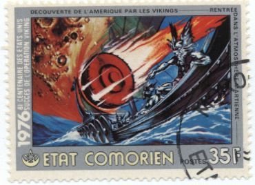
Viking Mission to Mars - U.S. Bicentennial 1976
Issued in 1976 as part of the United States Bicentennial (1776-1976) series, this stamp commemorates major contributors to modern science, featuring Albert Einstein, renowned for his Theory of Relativity, alongside Thomas Young, whose work in optics and wave theory helped establish fundamental principles of physics. The design also includes scientific imagery associated with space-age technology and research, illustrating the continuing impact of their discoveries on modern science and engineering. By issuing this commemorative stamp, the Federal and Islamic Republic of the Comoros celebrated the achievements of scientists whose work transformed understanding of the physical universe. The issue highlighted the importance of scientific research, innovation, and education, while recognizing the lasting legacy of Einstein, Young, and other pioneers whose discoveries continue to influence physics, astronomy, communications, and modern technology.
View Stamp Details →Collection Gallery
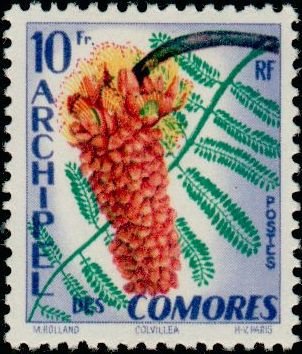
Colvillea
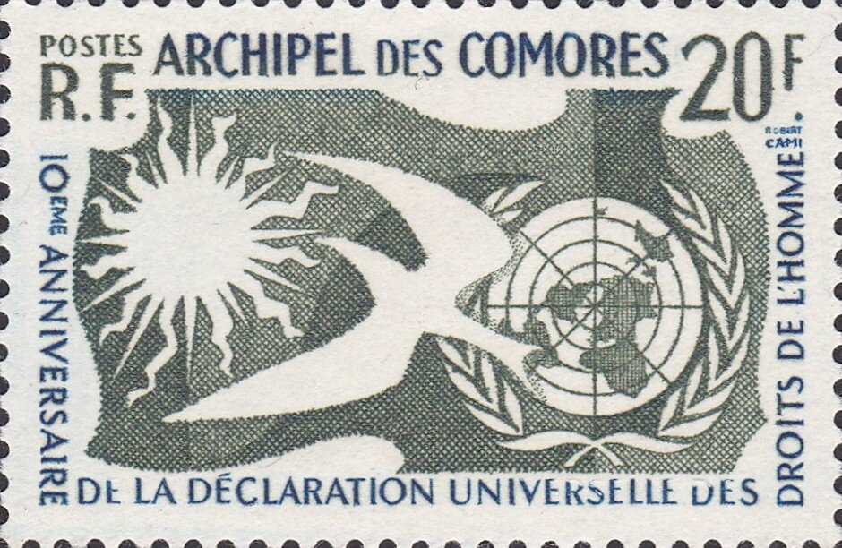
10th Anniversary of the Declaration of Human Rights
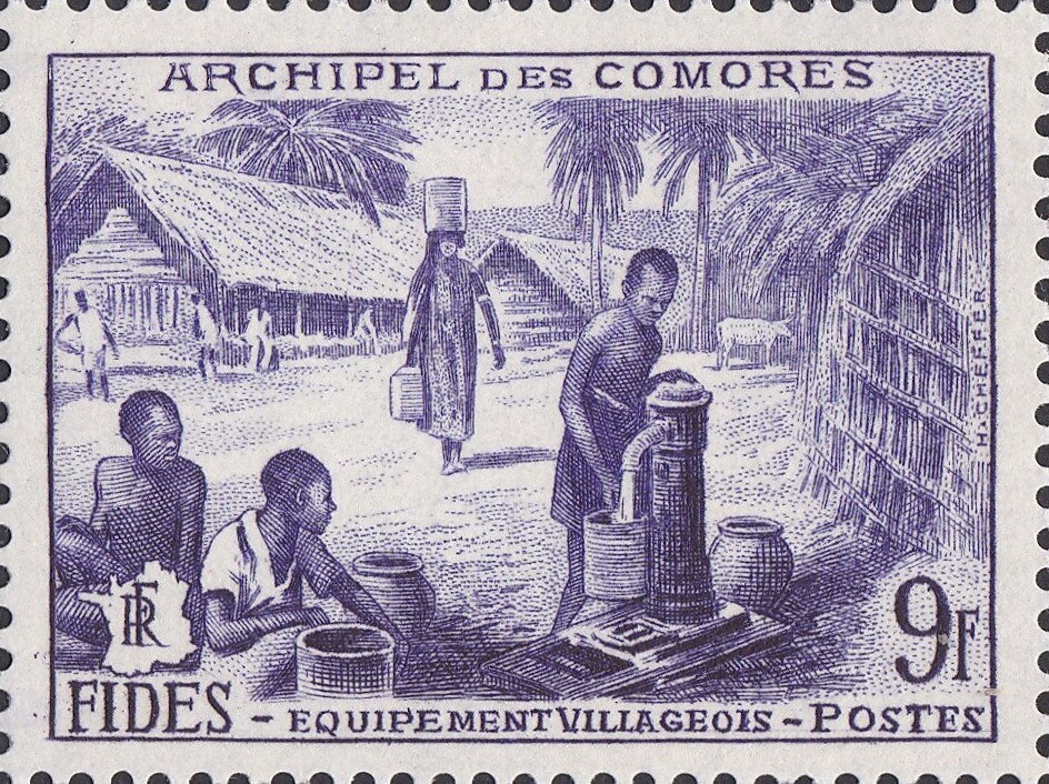
Rural Life and Community Development in the Comoros
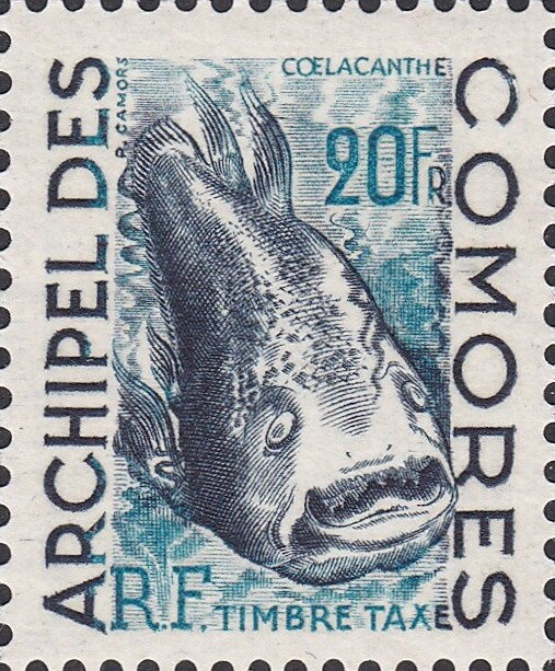
West Indian Ocean Coelacanth (Latimeria chalumnae)
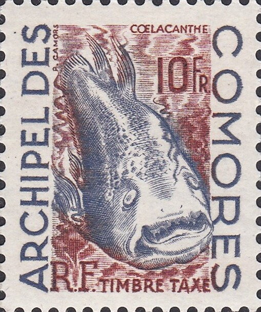
West Indian Ocean Coelacanth (Latimeria chalumnae)
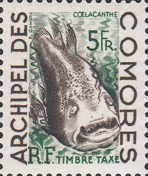
West Indian Ocean Coelacanth (Latimeria chalumnae)
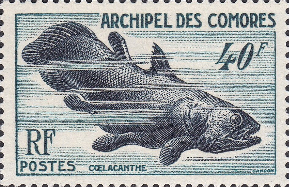
West Indian Ocean Coelacanth (Latimeria chalumnae)
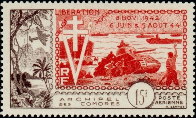
10th Anniversary of the Allied Forces Landings in Normandy
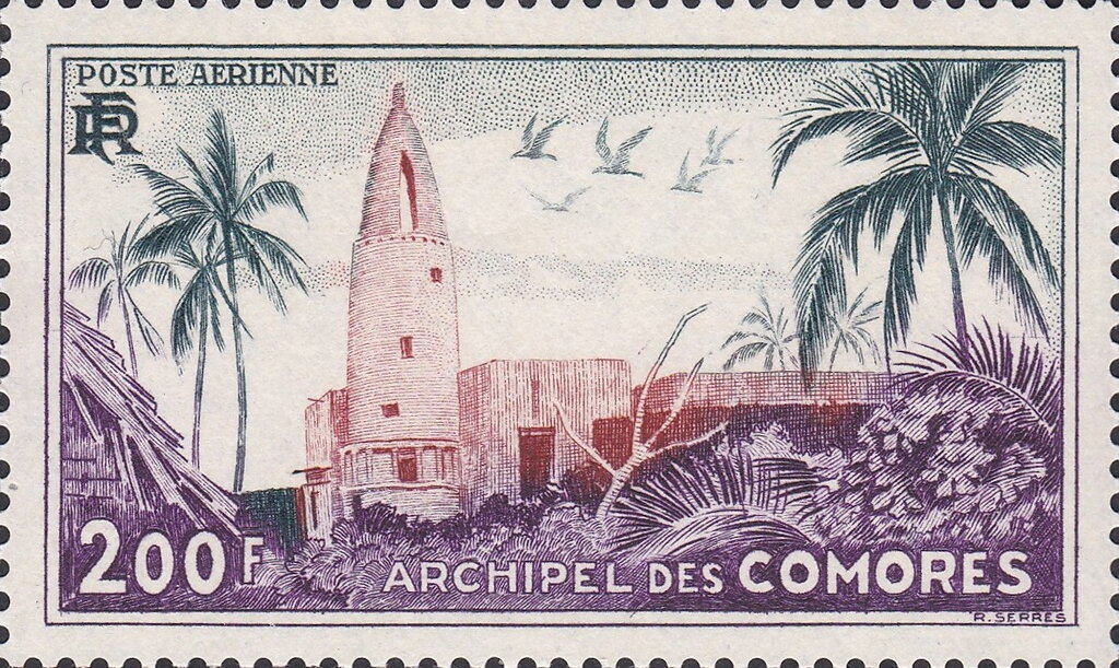
Mosque of d' Ouani - 200 franc
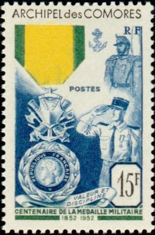
Military Medal Centenary - 15 franc
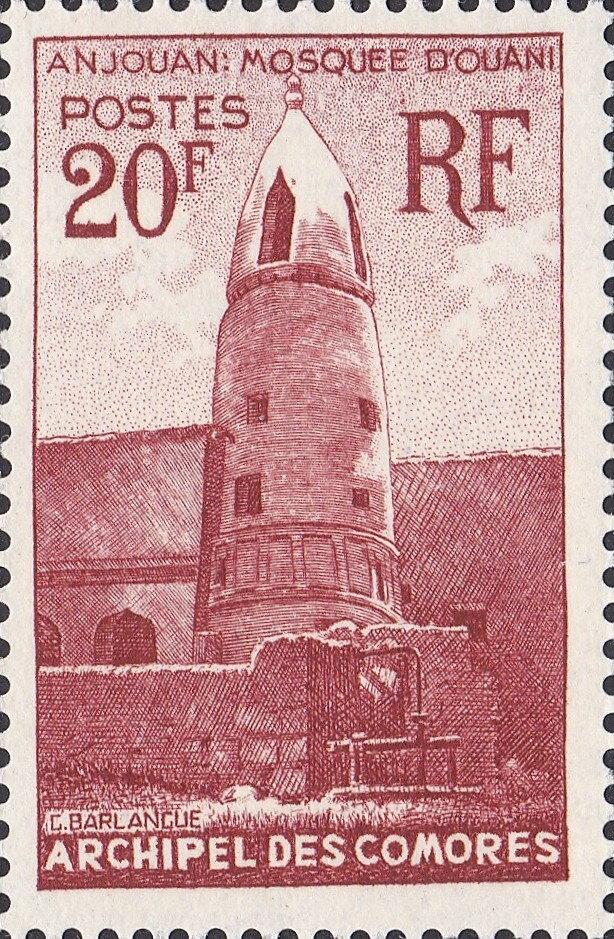
Mosque of d' Ouani - 20 franc
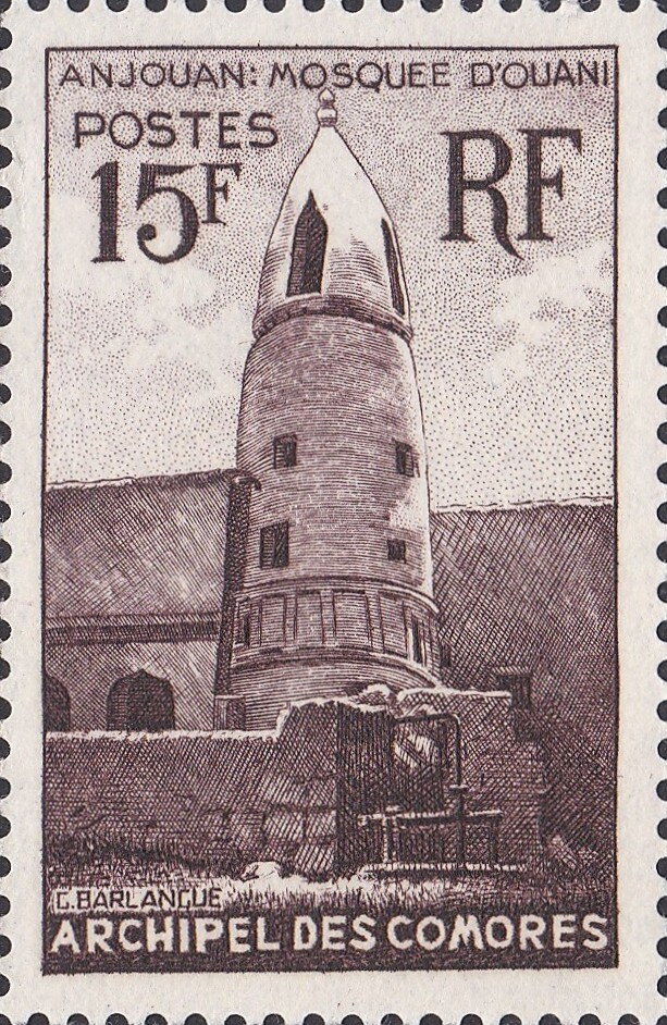
Mosque of d' Ouani - 15 franc
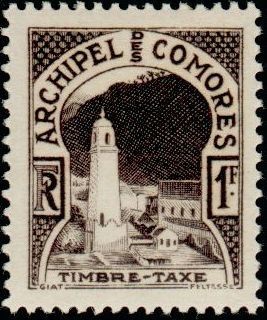
Postage Due and Architectural Heritage - 1 franc
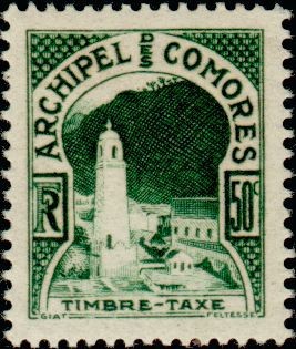
Postage Due and Architectural Heritage - 50 Centime
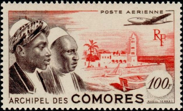
Cultural Identity and the Port of Moroni
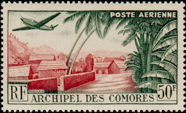
Aerial Mail over Mutsamudu Village
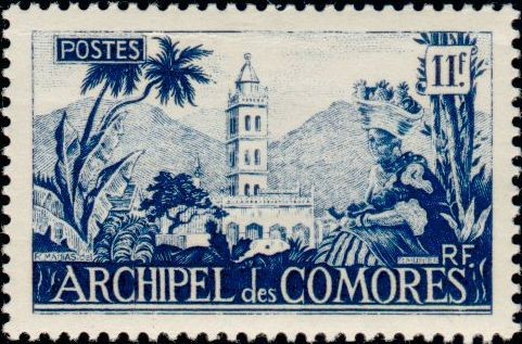
Mosque in Moroni - 11 Franc
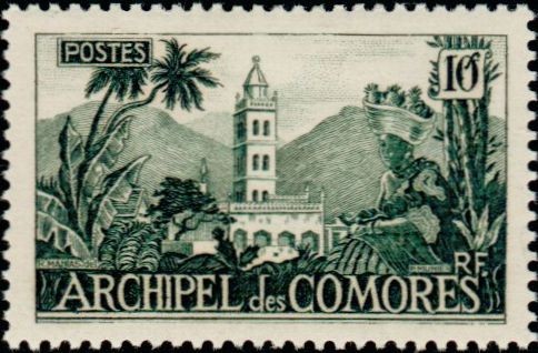
Mosque in Moroni - 10 Franc
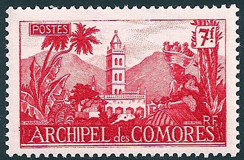
Mosque in Moroni - 7Franc
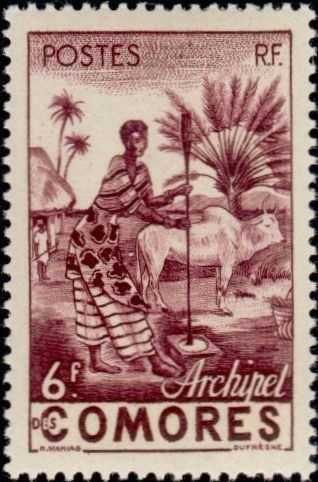
Agricultural Life and Zebu Husbandry - 6 Franc
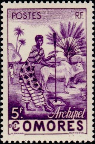
Agricultural Life and Zebu Husbandry - 5 Franc
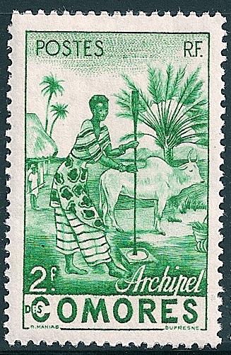
Agricultural Life and Zebu Husbandry - 2 Franc
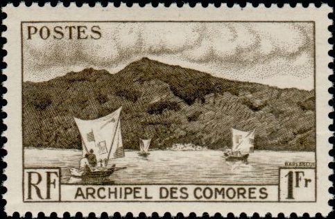
Outrigger Canoes and Coastal Landscape - 1 Franc