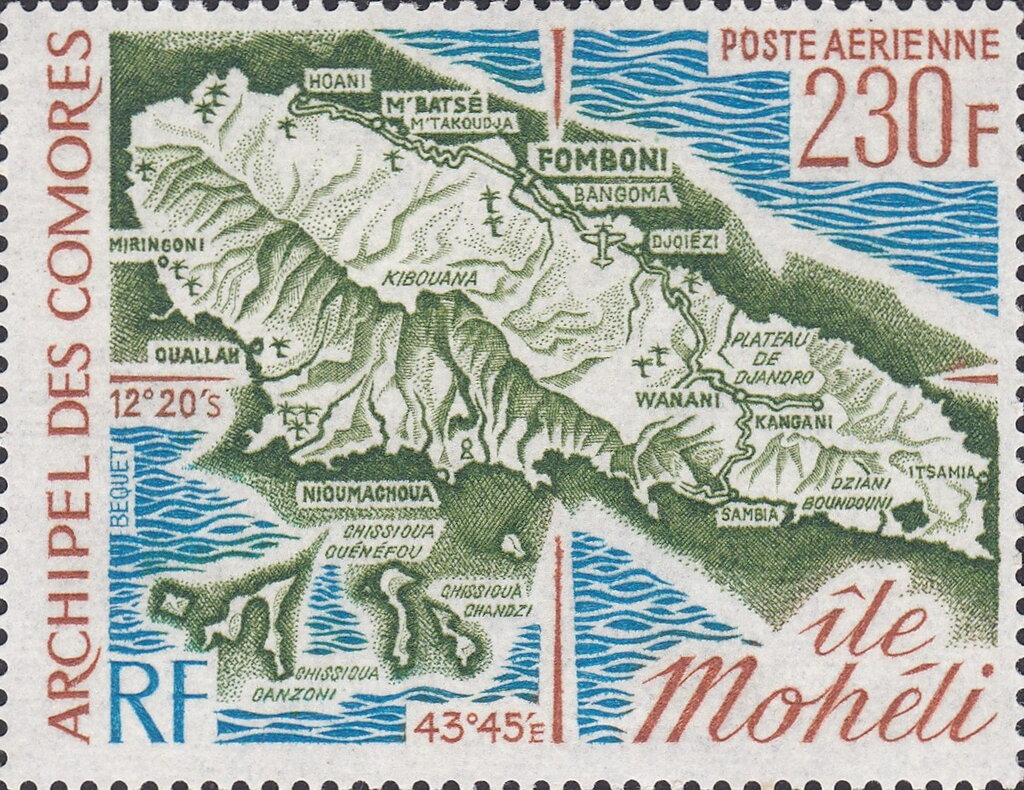
Map of Mohéli Island
This stamp is part of a series promoting the geography and heritage of the Comoros Archipelago. It depicts a map of Mohéli (Mwali), the smallest of the three main islands that make up the independent Comoros. The map identifies many of the island's towns, villages, and notable geographic features, highlighting Mohéli's importance within the archipelago and its role in the country's cultural and historical development.
By issuing this stamp, the Comoros emphasized national awareness of its territory and the diversity of its islands. The issue celebrates Mohéli's unique identity, encouraging appreciation of the island's communities, landscapes, and strategic importance while promoting knowledge of the country's geographic heritage.
By issuing this stamp, the Comoros emphasized national awareness of its territory and the diversity of its islands. The issue celebrates Mohéli's unique identity, encouraging appreciation of the island's communities, landscapes, and strategic importance while promoting knowledge of the country's geographic heritage.