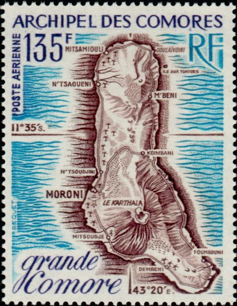
Map of Grande Comore
The island of Grande Comore (Ngazidja / Grande Comore), the largest and youngest island in the Comoros Archipelago, is dominated by the massive active shield volcano Mount Karthala (2,361 meters), whose expansive caldera shapes the island's central and southern geography. Characterized by its elongated north-south profile, rugged lava fields, and fertile coastal plains, Grande Comore serves as the political and administrative hub of the nation, housing the capital city of Moroni along its western shore.To highlight the cartography, major settlements, and volcanic terrain of the island, the postal administration of the Comoros Archipelago (Archipel des Comores) issued a dedicated 135-franc airmail stamp (POSTE AERIENNE). Designed by Béquet, this detailed map stamp illustrates Grande Comore complete and key locations across the island including the capital Moroni, Mitsamiouli, Goulaivoini, M'Beni, Koimbani, Foumbouni, Mitsoudje, and the caldera of Le Karthala.